| RSS | EN | DE | EL | ES | FR | IT | RU

Chimborazo Volcan

Updated: 30 juin. 2026 01:19 GMT -
stratovolcano
Equateur, -1.46°S / -78.82°W
Summit height: 6310 m / 20,702 ft
Condition actuelle: normal / en sommeil (1 sur 5)
View of Chimborazo volcano from the west (Photo: P. Ramón IG/EPN)

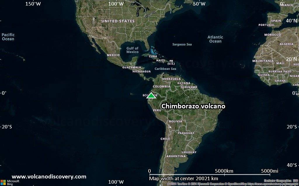
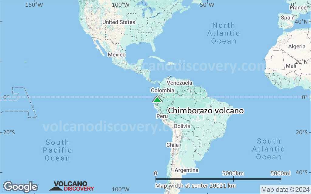
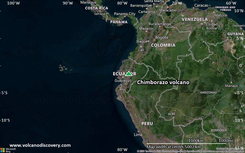
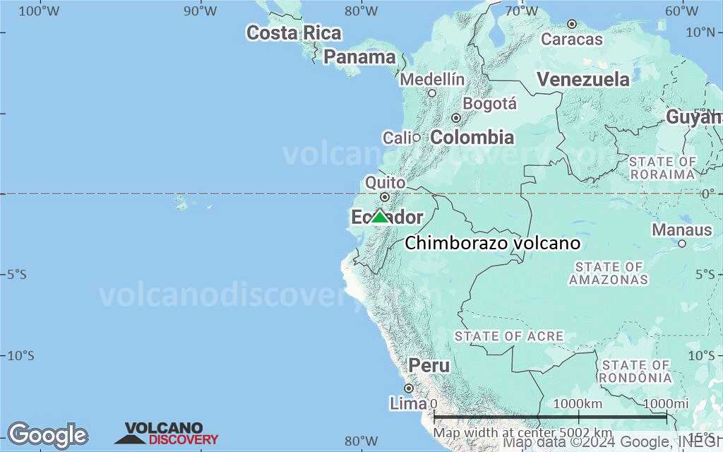
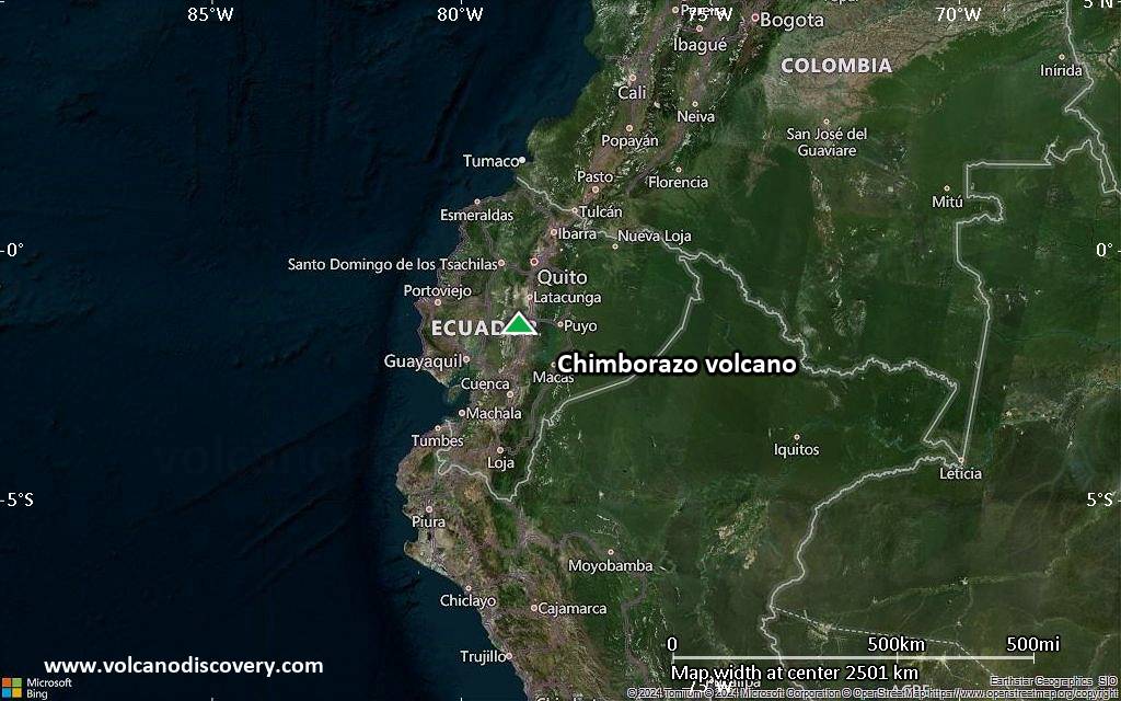
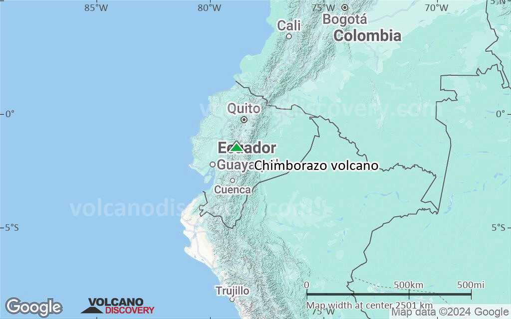
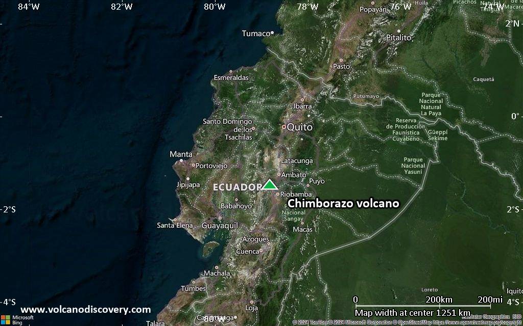
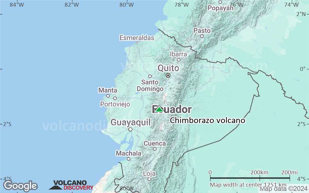
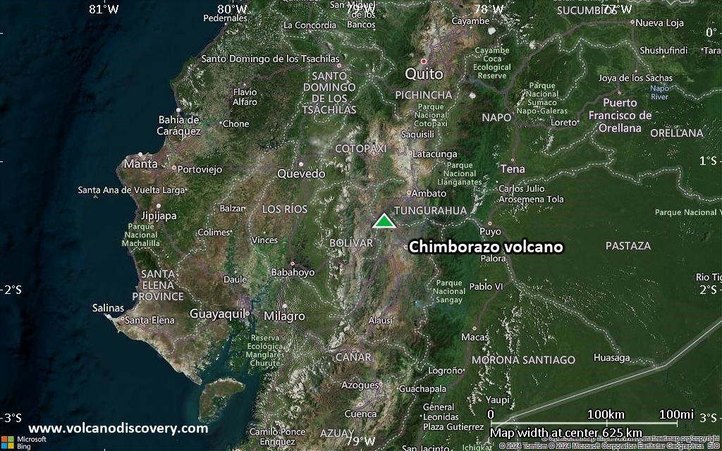
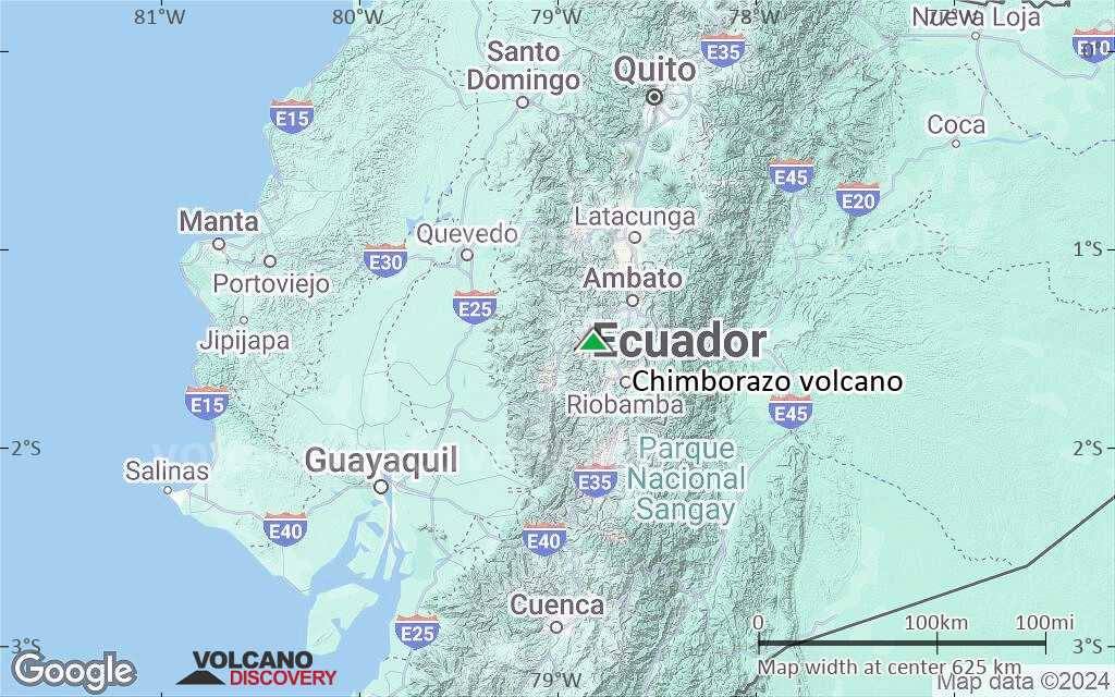
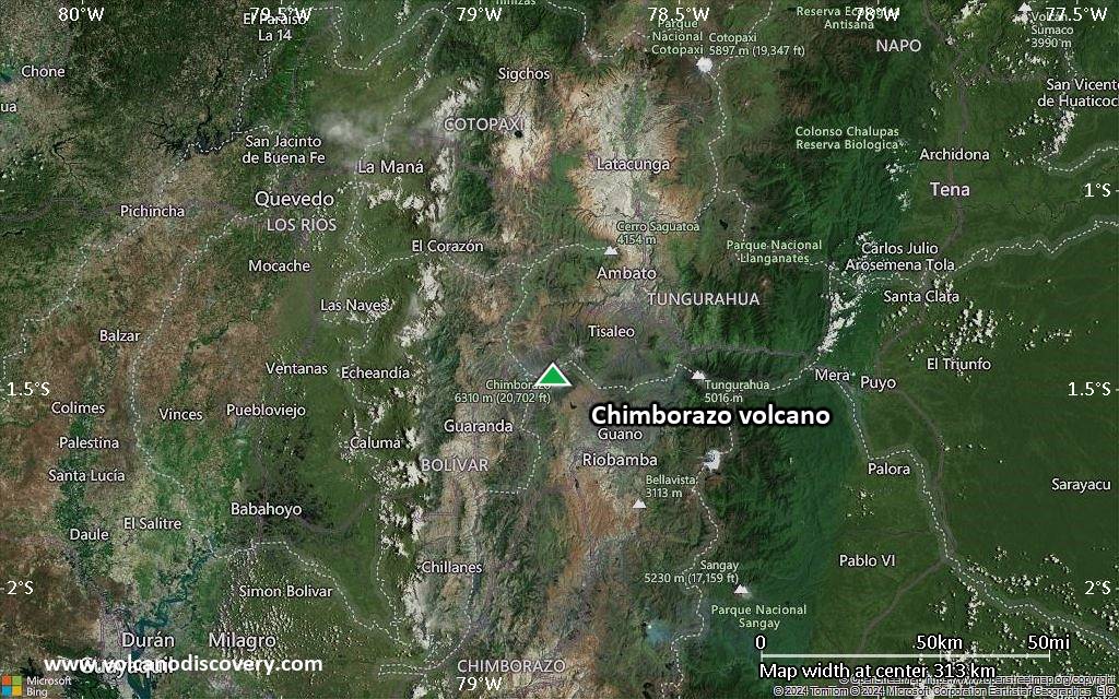
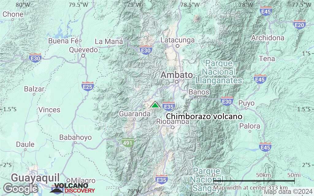
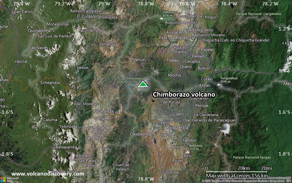
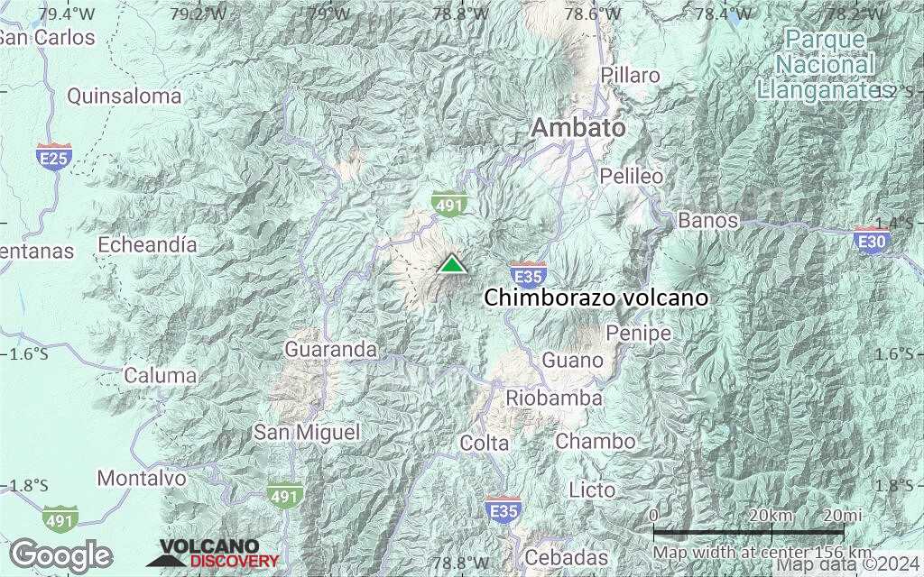
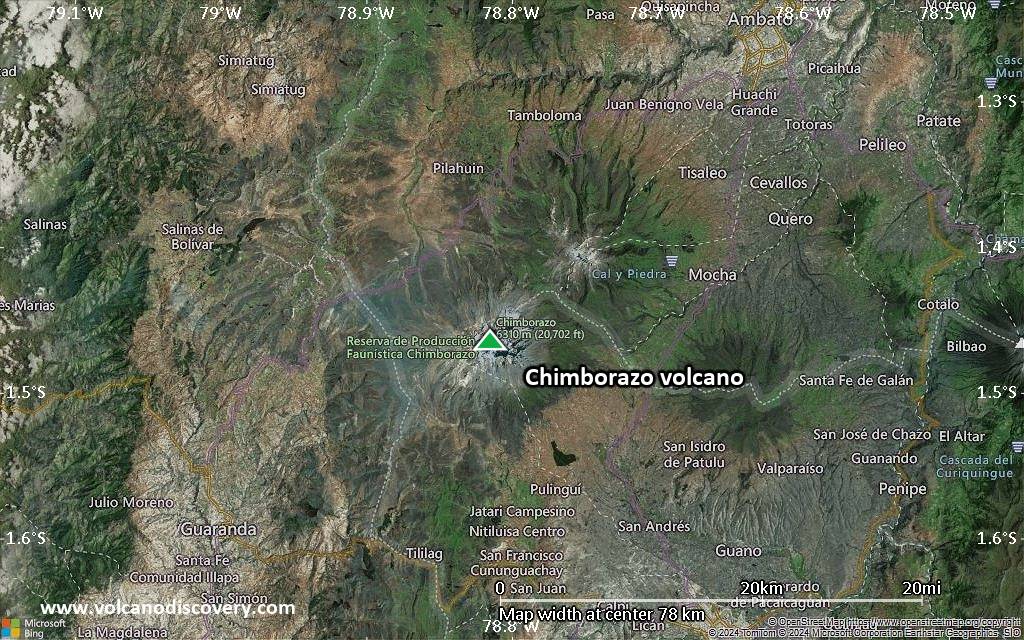
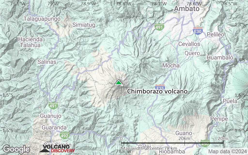
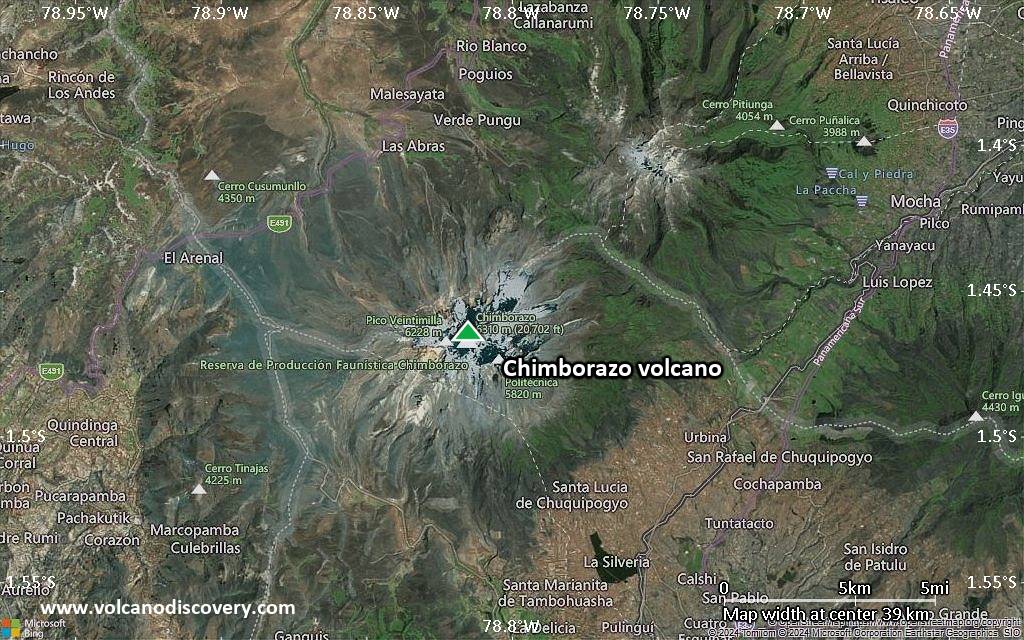
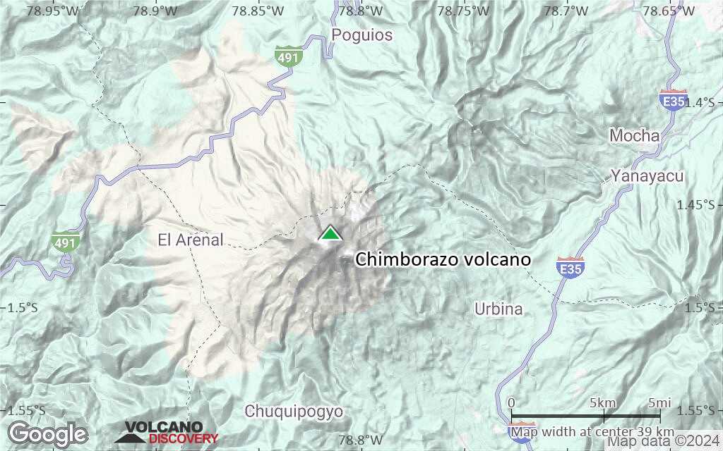
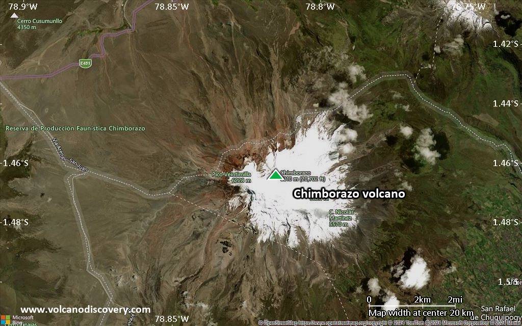
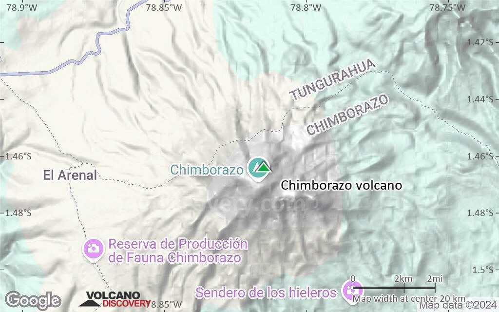
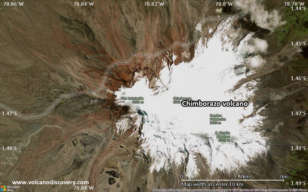
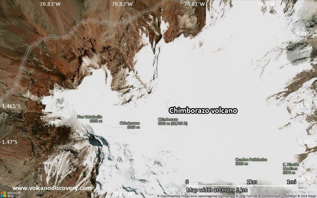
Chimborazo volcano is Ecuador's highest active volcano and the highest in the Northern Andean Volcanic Zone. The massive, ice-capped stratovolcano lies at the southwest end of the main Ecuadorian volcanic arc, the so-called "Avenida de los Volcanes" ("Avenue of Volcanoes") and is located ca. 150 km SSW of Quito and 28 km NW of the town of Riobamba.

Chimborazo had been thought to be extinct, but new studies have shown that it still is an active volcano. Although there are no historical eruptions,
Chimborazo erupted at least 7 times during the past 10,000 years. These eruptions produced pyroclastic surges that reached down to 3800 m elevation. The average time interval between single eruptions is about 1000 years and the last eruption occurred about 1400 years ago, which means that statistically, it is due for another one.

Due to its great height and its geologic history of explosive eruptions, and closeness to populated areas in Ambato and Riobamba basins, it should be considered a dangerous volcano.

[smaller] [larger]
Style éruptif tipique: explosive
Eruptions du volcan Chimborazo: 640 AD ± 500, 200 AD ± 40, 3360 BC ± 40 (radiocarbon dated)

Derniers séismes proches

Date et l'heureMag / Prof.Distance / Lieux

Introduction

The dominantly andesitic-to-dacitic Chimborazo volcano is mostly of Pliocene-to-Pleistocene age. The volcano collapsed about 35,000 years ago, producing a major debris avalanche, whose deposits underlie Riobamba and temporarily dammed the Río Chambo, producing an ephemeral lake.
Subsequent eruptions have been dominantly andesitic and constructed three edifices along an east-west line, the youngest and westernmost of which forms the current summit of Chimborazo.

Chimborazo sector collapse and debris avalanche
The debris avalanche deposit has not been directly dated, but a pyroclastic flow directly overlying the deposit has been dated at over 35,000 years, meaning that the collapse occured not too long before the eruption that produced the pyroclastic flow. The debris avalanche deposit has an average thickness of 40 m, covers an area of 280 sq km, and has a volume of > 11 cubic km.
---
Sources:
- Smithsonian / GVP volcano information)
- Alcaraz et al (2005) "The debris avalanche of Chimborazo, Ecuador", 6th International Symposium on Andean Geodynamics (ISAG 2005, Barcelona), Extended Abstracts: 29-32


Climbing Chimborazo
Chimborazo is a popular and challenging climb. The normal route up the mountain takes 10 hours to the summit and 4 hours to return.

Interesting fact: Chimborazo's distance from the earths center
Chimborazo's summit is the farthest point of the earth's surface from the center of the earth. Due to the centrifugal forces of its rotation, the earth's shape deviates from a perfect shpere and has a larger diameter at the equator than the length of its N-S axis. The distance of Chimborazo's summit from the center is 6,384.4 km, 2229 m more than the distance of Mt Everest's top to the center. (Source: Wikipedia)

Éruptions volcaniques importantes: volcano Chimborazo

No historic eruptions are known from Chimborazo volcano, but evidence from at least 6 eruptions during the past 10,000 years can be found in the geological record.
The table below lists all known eruptions (date in bold face) of Chimborazo volcano in historic times and during the past 10,000 years. Updates on the most recent volcanic activity of Chimborazo can be found on the news page of Chimborazo volcano.
DateNoteVEIMortsDommages
550 ±150 y. AD?
inconnu
270 ±150 y. AD?
inconnu
2500 ±1500 y. BC?
inconnu
4130 ±150 y. BC?
inconnu
5410 ±75 y. BC?
inconnu
7500 ±2500 y. BC?
inconnu
Remark:
Our list of volcanic eruptions closely follows the database of eruptions of the Smithsonian's Global Volcanism Project (GVP), the internationally most recognized data source for volcanic eruptions, but also includes significant eruptive episodes or related volcano events. "Volcanic eruptions" are usually to be understood as sequences of individual eruptive episodes that can follow each other, or even overlap (if several vents are involved), and can last many years, decades or even longer. For example, the current activity of Stromboli volcano is understood as a single eruption that has been ongoing since 1934.
Sources: NOAA National Centers for Environmental Information (NCEI), Global Significant Volcanic Eruptions Database. doi:10.7289/V5TD9V7K | Global Volcanism Project / Smithsonian Institution

Chimborazo Volcano FAQ

+When was the last eruption of Chimborazo volcano?

Dernières images satellite

Chimborazo image satellite sat1Chimborazo image satellite sat2

Chimborazo Volcan Cartes

Below is a selection of maps showing the location and surroundings of the volcano at various resolutions based on aerial-imagery / terrain maps. Feel free to use them for non-commercial purposes on your blog or website as long as you credit them with a link back to this page (click to copy it).
Satellite/aerial-type map of Chimborazo volcano (world scale)
Terrain-type map of Chimborazo volcano (world scale)
Satellite/aerial-type map of Chimborazo volcano (region scale large)
Terrain-type map of Chimborazo volcano (region scale large)
Satellite/aerial-type map of Chimborazo volcano (region scale medium)
Terrain-type map of Chimborazo volcano (region scale medium)
Satellite/aerial-type map of Chimborazo volcano (region scale small)
Terrain-type map of Chimborazo volcano (region scale small)
Satellite/aerial-type map of Chimborazo volcano (local scale large)
Terrain-type map of Chimborazo volcano (local scale large)
Satellite/aerial-type map of Chimborazo volcano (local scale medium)
Terrain-type map of Chimborazo volcano (local scale medium)
Satellite/aerial-type map of Chimborazo volcano (local scale small)
Terrain-type map of Chimborazo volcano (local scale small)
Satellite/aerial-type map of Chimborazo volcano (scale of 10s of km)
Terrain-type map of Chimborazo volcano (scale of 10s of km)
Satellite/aerial-type map of Chimborazo volcano (scale of 20-40 km)
Terrain-type map of Chimborazo volcano (scale of 20-40 km)
Satellite/aerial-type map of Chimborazo volcano (scale of approx. 10-20 km)
Terrain-type map of Chimborazo volcano (scale of approx. 10-20 km)
Satellite/aerial-type map of Chimborazo volcano (scale of 5-10 km)
Satellite/aerial-type map of Chimborazo volcano (scale of few kilometers)
Volcanoes & Earthquakes - app for Android
Départs garantis:
2-18 août 2026: Du Krakatau à Bali - Java (Indonésie)
14-30 août 2026: Volcans et Épices - Mer des Moluques (Sulawesi, Indonésie)
5-21 oct. 2026: Du Krakatau à Bali - Java (Indonésie)
11-27 oct. 2026: From Bali to Flores - Java (Indonesia)
6-22 nov. 2026: Volcans et Épices - Mer des Moluques (Sulawesi, Indonésie)
26 mai - 6 juin 2027: Land of History - Armenia
= Places libres   = Départ garanti   = Quelques places disponibles   = Groupe fermé

No news in this list.

Sur cette page:

Try our free app!
Volcanoes & Earthquakes - new app for Android
Android | iOS version

More on VolcanoDiscovery

Why is there advertising on this site?

Ensemble, faisons grandir VolcanoDiscovery !

Chaque jour, nous travaillons avec passion pour vous apporter les dernières données sur les volcans et les séismes du monde entier, en temps réel. Mais maintenir notre site web et nos applications gratuites demande beaucoup de temps, d’énergie et de ressources.
Avec votre soutien, nous pouvons renforcer nos outils, élargir nos capacités matérielles et logicielles, et aider notre équipe éditoriale à continuer de vous informer, partout et à tout moment. Notre ambition : offrir un service ininterrompu dès qu’un tremblement de terre ou une éruption volcanique se produit. Vos dons rendent cela possible — chaque contribution compte ! Si nos informations vous sont utiles et que vous souhaitez participer à cette mission, faites un geste aujourd’hui :

Faire un don via PayPal :

Prochaines améliorations prévues :

Grâce à vos dons précédents, nous avons déjà ajouté :
Téléchargez et mettez à jour l’application « Volcans & Séismes » pour recevoir parmi les alertes sismiques et volcaniques les plus rapides en ligne :
Android | iOS
Merci de faire partie de cette aventure !
Copyright: VolcanoDiscovery ou autres sources indiquées.
Utilisation des documents: Les textes, les images et les vidéos de ce site internet sont protégées par copyright. Toute reproduction et tout usage sans accord préalable ne sont pas autorisés. Si vous désirez acquérir pour certains documents (photos, vidéos, textes ou autres) le droit de reproduction, d'édition et, plus généralement, de toute utilisation destinée à un usage public, qu'elle soit commerciale ou pas, vous êtes priés de nous contacter.
Volcanoes & Earthquakes
VolcanoDiscovery Home
Volcans | Séismes | Photos | Actualités | | Shop | App
Adventure & Study Travel
Tours to Volcanoes and Volcanic Areas: walking tours, photo tours, study tours
Voyages |
Get our newsletter!
Company info
Contact | Mentions légales | Terms & conditions
Follow us
Follow us on facebook Follow us on Instagram Follow us on Bluesky Follow us on Twitter Visit our Youtube channel
EN | DE | EL | ES | FR | IT | RU
VolcanoDiscovery GmbH, Germany, Reg. nr.: HRB 103744, EU Tax Id: DE 297 465 123 owned and created by
Dr. Tom Pfeiffer, volcanologist, volcano photographer, tour organizer member of
IAVCEI
IAVCEI
Vulkanologische Gesellschaft
Volcanological Society
Ecotourism Greece
Ecotourism Greece
RUV insurance
Insured by R+V
VolcanoDiscovery © 2004- All Rights Reserved | Privacy - Changer Préférences